https://www.mahasib.com
Required
Show more...
Show less
تشرح نده ساتل شوې. مخکې لاړ شه؟
Home > Products > Capabilities > Imagery & Remote Sensing
Imagery and Remote Sensing

Integrated with GIS
A geospatial system for imagery-driven insights, deep understanding
and decisive action


One solution for local and global challenges
Copy link Copied
Geospatial technology, inclusive of imagery and GIS, unlocks the potential of remotely sensed data.

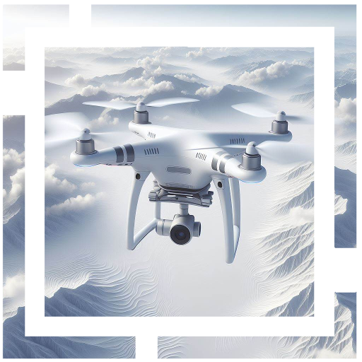
Drone Based Imagery
Drone Based Imagery
Collect accurate, high-resolution maps and 3D models using supported drones with an automatic flight planning system.
The system supports multiple flight paths such as crosshatch, orbital etc for Photogrammetry, Ortho mapping, Lidar, Thermal and inspections.
All data collection parameters such as resolution, look angles, ground control points, validation checkpoints are within your control.
Do you need Satellite or Drone Based Imagery?
Copy link Copied
Talk to someone from our sales team:

Call us
+93-70-028-1309
Send us an email
gis@liwal.com


Copyright © 1992-2024 Liwal Ltd. All rights reserved.