https://www.mahasib.com
Required
Show more...
Show less
تشرح نده ساتل شوې. مخکې لاړ شه؟
Home > Industries > National Government
Copy link Copied
Defense
Aviation
Copy link Copied
Agriculture
Copy link Copied
National Government
National Government
Enhance quality of life with proven location-based technology
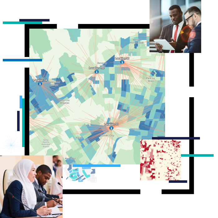
National governments use geographic information system (GIS) technology to manage programs and evaluate policy outcomes. With GIS, agency staff and leaders integrate diverse types of data to derive understanding, operationalize solutions, communicate insights, and engage stakeholders and the public.

Using GIS to incorporate location intelligence into high-level decision-making provides powerful insights on critical issues the nation faces, and supports science- and analysis-based policy making.
National government industries Select your discipline to see how Esri technology can help you.
Copy link Copied
Talk to someone from our sales team:

Call us
+93-70-028-1309
Send us an email
gis@liwal.com


Copyright © 1992-2024 Liwal Ltd. All rights reserved.