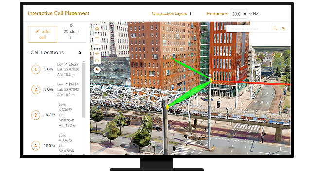
ArcGIS can be extended with a suite of Radio Planning and Optimization functionalities to precisely model electromagnetic, light, and sound wave propagation using data from many sources including 3D mesh data. With ArcGIS, consultants can plan radio coverage, links, and non ionizing radiation calculation. Using the platform, one can perform Radio propagation calculations,
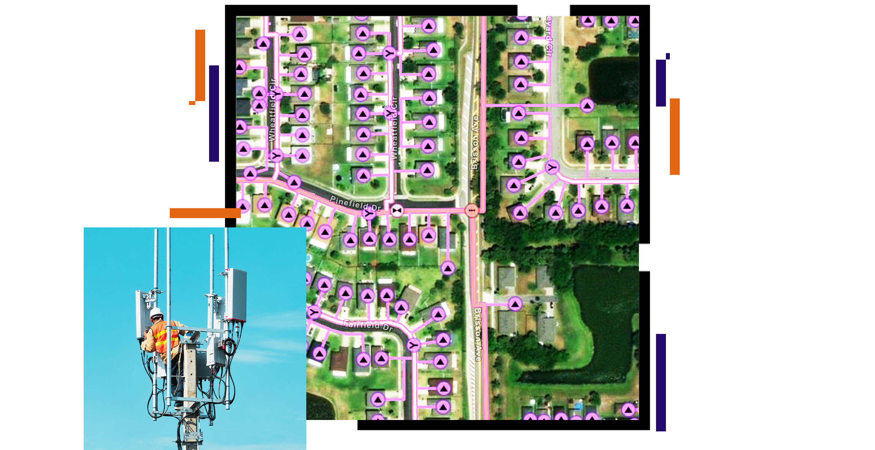
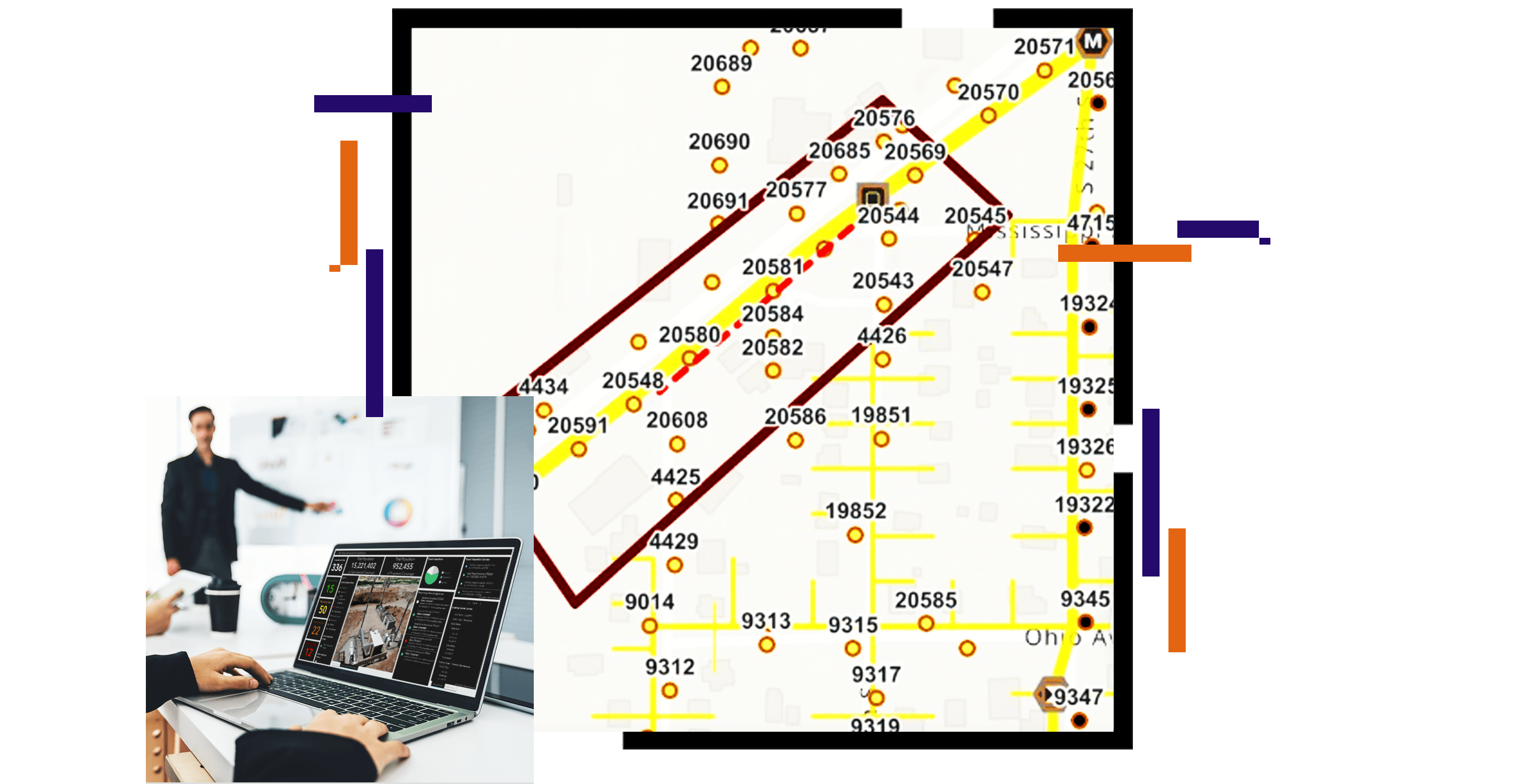
Broadband service mapping, Coverage calculations and consultancy in wireless telecom network planning and optimization.
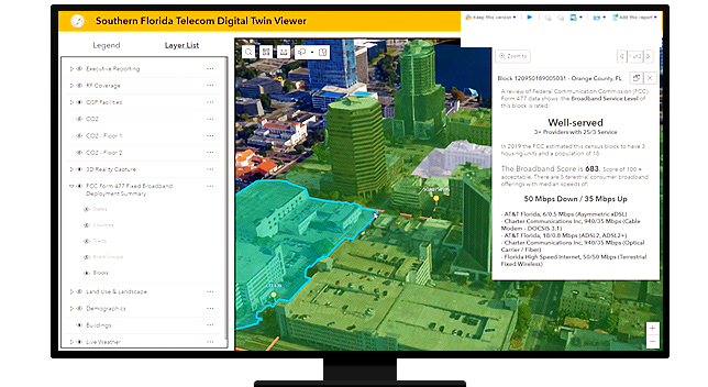
Below a simple network coverage map that has been produced for the whole region of Afghanistan and shows the signal quality for a 3G 1800 MHz system. It was created in ArcGIS Pro with a simulation extension toolbox and assumes most of the cell tower parameters. If your organization also requires to quickly create a network coverage map either for planning purposes or for displaying a map on your website for your customers, please contact us.